


Round Trip Distance: 2 miles
Difficulty: Moderate
Elevation: 8824 - 9260 feet
Cellphone: 0-3 bars
Time: 2 hrs.
Trailhead: Mesa Creek Ski Area (sledding hill)
Fee: none
Attractions: Forest hike, wildflowers
The Ambush Trail is located in the Grand Mesa National Forest just off Highway 65 at the Mesa Creek (Old Powderhorn) Ski Area. The trail ascends the sledding hill to about mid point and then follows a section of the Old Grand Mesa Road. Before Powderhorn was built the Mesa Creek Ski Area the winter destination for downhill skiing on the Grand Mesa providing a tow rope to take skiers up the slope.

There was talk that the Forest Service was closing this trail to mountain bikes but the new sign that is in place indicates that it is still open to them. The Ambush trail is a very fun diversion for mountain bikes coming off the mesa.

As the trail departs from the trailhead it goes parallel to the road toward Mesa Creek before turning uphill.

It is hard to resist walking the short distance over to the creek and checking it out. The trail reconnects with the Ambush trail if you follow it uphill. I have never hiked across the creek so I can't tell you what you will run in to there.

When the Old Grand Mesa Road climbed this slope it did it in a series of switchbacks that are now barely noticeable. When the trail gets to the second flat spot on the hill you will notice a small boulder where the Ambush trail leaves the slope and heads east on the old road. There is a lot of grass here that obscures the turnoff and the trail heading on up the hill shows a lot more use. That seems to imply that most people think that all the Ambush trail amounts to is walking straight up the mountain and back down. (ugh!)
Once you make the turn onto the old road the route becomes more apparent. The trail is traversing around the mountain for the rest of the distance so all of the steep climbing is behind you now.

I caught a glimpse of a moose and while standing on a rock trying to get a picture a couple of bucks came walking up within 30 feet of me. They stopped and stared for a minute and then walked on past while I was taking pictures. What surprised me was when they turned around and one of them came up within about 20 feet of me and stopped and just stood there staring at me. After a few minutes of this they finally ran away.

The trail eventually comes out at one of the switchbacks on the highway. There is a parking area here but there aren't any trail signs marking it as a trailhead.

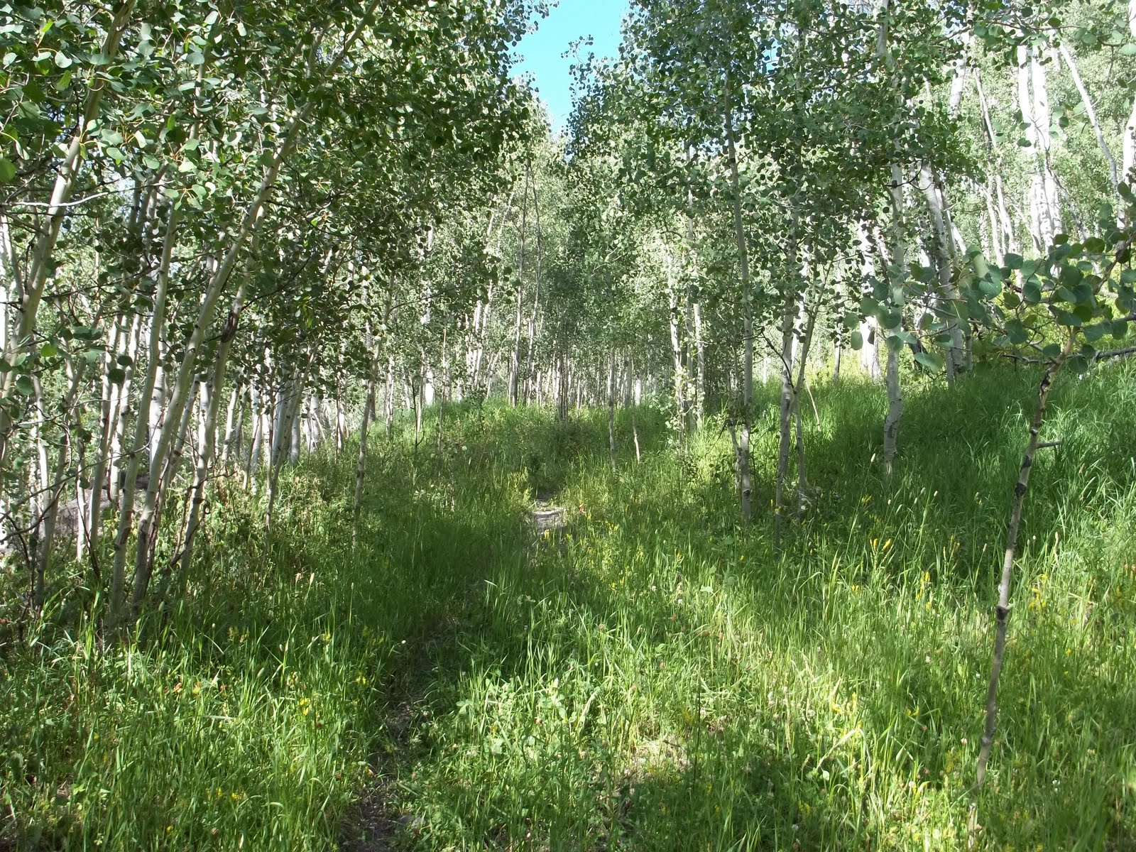
Most of the trail is secluded withing the trees and you can't see off into the distance but in a few places you can get some glimpse of the surrounding mountains and valleys.

I came across a giant puff ball mushroom that was bigger than a loaf of bread. These are edible if you are wondering.

The hillside in one area was covered with high bush cranberries. I could have filled a bag but the ground was pretty steep and it would have probably been more work than it was worth.

