


Round Trip Distance: 0.8 miles
Difficulty: Moderate
Elevation: 820 - 867 feet
Cellphone: 0-3 bars
Time: 1 hrs. 30 mins.
Trailhead: 33.22951, -112.77448
Fee: none
Attractions: petroglyphs, pueblo
Gillespie Dam is located along Old Highway 80 north of Gila Bend, Arizona. On the bluff overlooking the dam there are a large number of petroglyphs that for description purposes we are dividing into a North Site and a South Site. This post covers the North site plus a ruin that is between the two.

A person could park in the same place, like we did, and hike both the North and South sites or for the North site you could turn off on the side road at 33.23081, -112.776, a few hundred feet north of the turnoff into the large open area which is at 33.22951, -112.77448.

The petroglyphs are all on the face of the cliffs below the rim of the mesa with a primitive trail below them. You can get onto the trail from either end and hike it as a loop. We dropped below the rim at the gap in the cliffs just north of where the ruin is located.

The cliffs are perhaps 30-40 feet high and the petroglyphs can be found from one end to the other for a stretch of at least 300 feet.

One interesting aspect of the North site are all of the 'suns' or rayed concentric circles of various designs.

There are all of the other components found at other sites in the area but the suns are so prevalent that they surely must have been foremost in the messages being conveyed at this site.

This panel seems to have a lot to tell. The top row of 5 people are upside down probably indicating that they were dead. There is a rayed circle with a smaller one below it and off to the right they took advantage of a natural hole in the rock, or vesicle in this case, to make yet another one. At the right hand side of the second row of people is a hunter with a bow and arrow shooting a sheep or deer so perhaps the panel can be dated after the atlatl but before the advent of the horse since there are none of those present in the area.

Here is a nice variation of the rayed circle with lobes.

A large reticulated pattern.

Here is a running sheep that we rather liked.

A couple of parallel snakes.

Heavily rayed concentric circles.
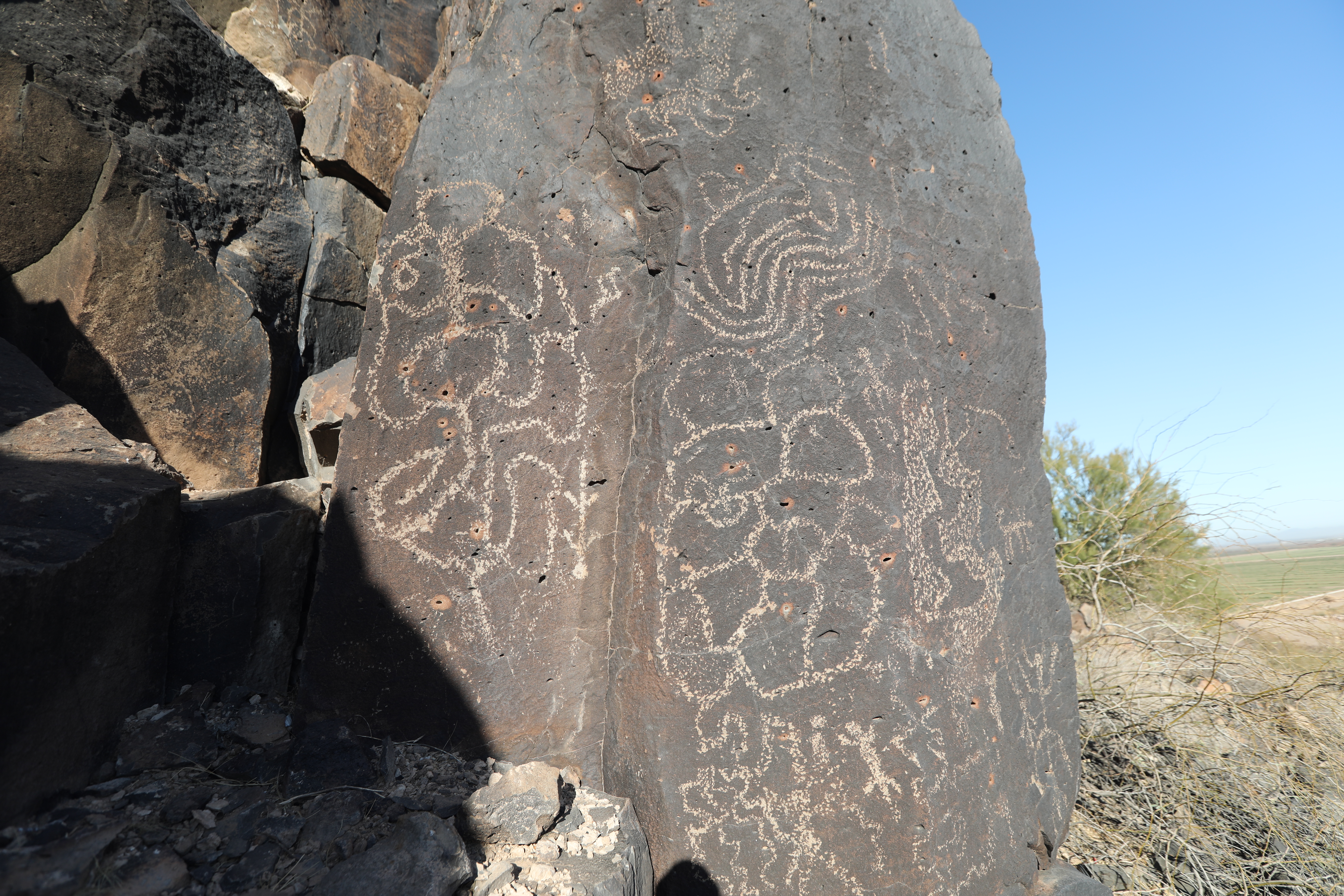
Interesting designs.

Ladders must have been used for a lot of the images that are high up on the cliff. There isn't much in the way of trees in the area so maybe they were human ladders or something else.

We marked a waypoint in the GPS file for some ruins that are between the north and south sites that are worth taking a few minutes to find. There is a trail that leads to them from the road. This particular ruin is mostly below ground like a pithouse but must have been entered through the roof like a pueblo or kiva.

