


Round Trip Distance: 0.5 miles
Difficulty: Easy
Elevation: 4771 - 4813 feet
Cellphone: 0-3 bars
Time: 30 mins.
Trailhead: BLM 9204 Road
Fee: none
Attractions: petroglyphs
Town Wash Point is at the end of BLM Road 9204 in the desert southwest of Hanksville, Utah. Overlooking Town Wash, with a nice view of Factory Butte to the north and the Henry Mountains to the south, are found multiple panels of petroglyphs that include one known as 'Riding Sheep' or 'Man Riding Sheep'. The hike is only about 100 yards each way but can be extended up to a half mile by looping all the way around the point where there are a few more minor petroglyphs and cowboy inscriptions.

If coming from Hanksville turn off of UT-24 heading south on 100 East. Continue south as 100 East transitions to County Road 95 for 6.1 miles where you will find the sign in this photo. Entering 'Henry Mountains North' into your driving app will lead you to this same point where you will want to turn right onto BLM 0092, aka the Bert Avery Road, aka CR-92, as though headed to Lost Spring.

After following the Bert Avery Road for 10.9 miles turn right again following the directions to Highway 24.

After another 2.3 miles turn right again this time onto BLM 9204.

The shorter distance to this point is obviously to turn off of UT-24 at Giles which is only about 7.5 miles away. At Giles you will have to ford the Fremont River where the conditions will vary. The crossing is over concrete where the depth usually isn't over 1 foot or so. There are a lot of rocky ledges and uneven slickrock going this route that require a higher clearance vehicle than the other route. A 2wd passenger vehicle when conditions are good will do better coming in from Hanksville.

A few hundred feet down BLM 9204 the road runs onto a vast expanse of slickrock that extends all the way to the point. It is an easy stroll whether you park before the slickrock or drive a little further. All the main panels of petroglyphs are along the west side of the ridge all the way out to the end of the point.

The first panel is the only one that we have ever heard a name for and that is the 'Riding Sheep Panel'.

Yeehaw!

The ledge becomes a little more exposed the further you venture toward the point of the ridge.

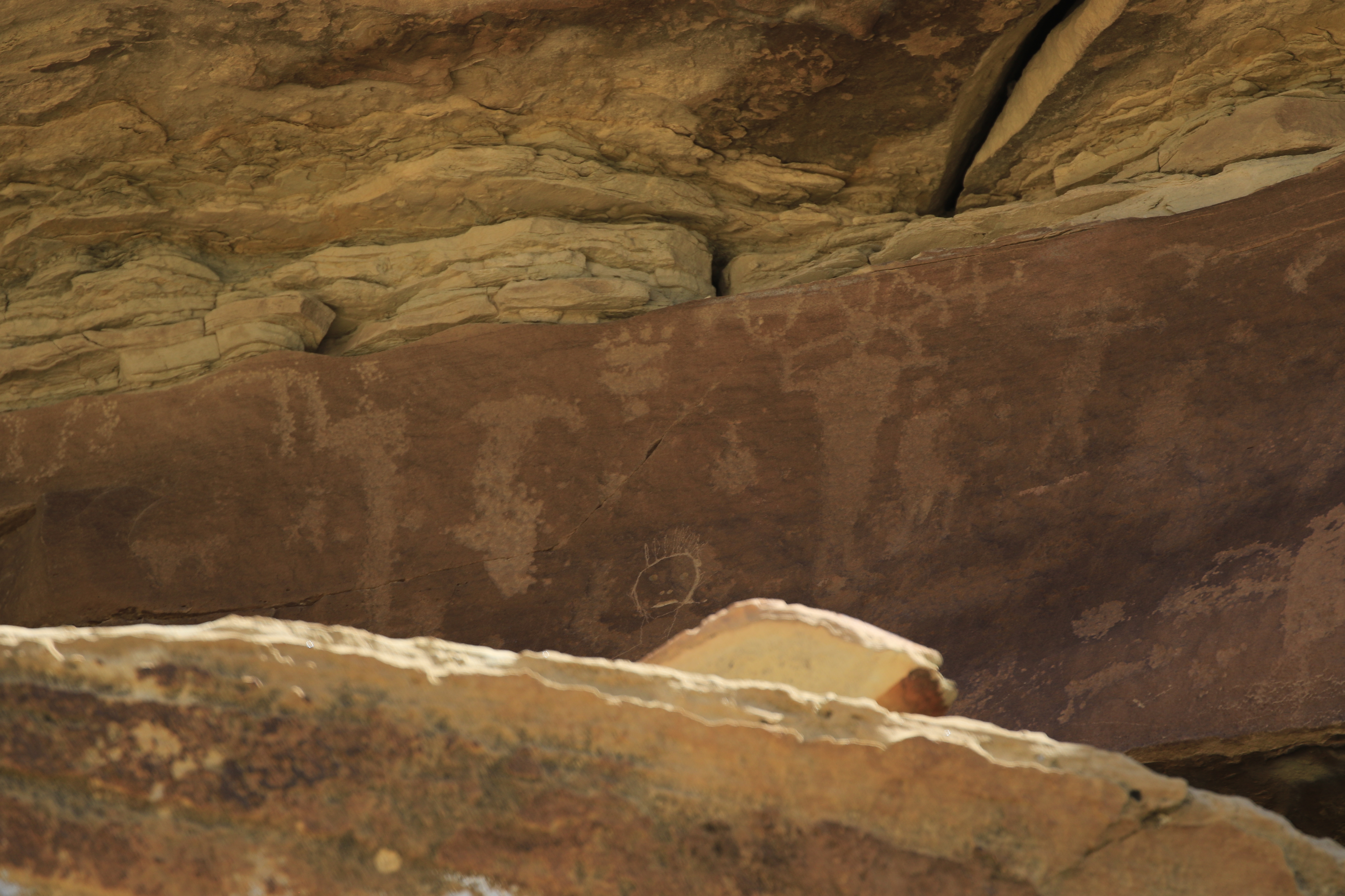
There are a lot of images out toward the point. This large rectangular bodied bighorn sheep full of men is definitely an interesting one.

The last panel is all the way out on the end of the cliff on a chunk of rock that will probably break off one of these days. If the broken chunk busts to pieces in the process we suppose that that will be the end of the images.

This photo was taken from below after hiking all the way around the point which is an option for anyone that doesn't want to crawl on their hands and knees like we did to see them up close.

 It is easy enough to see both Town Wash Point and the Counting Panel on the same trip. Neither site requires much hiking and if the roads are in good condition they don't take a lot of time to drive. We have seen flashfloods rearrange a couple of spots near the washes but the roads look like they get at least annual maintenance to keep them passable. When the roads are dry and in good shape most any 2wd vehicle with a little clearance should do fine. If you would like to see it for yourself then all you have to do is 'Take a hike'.
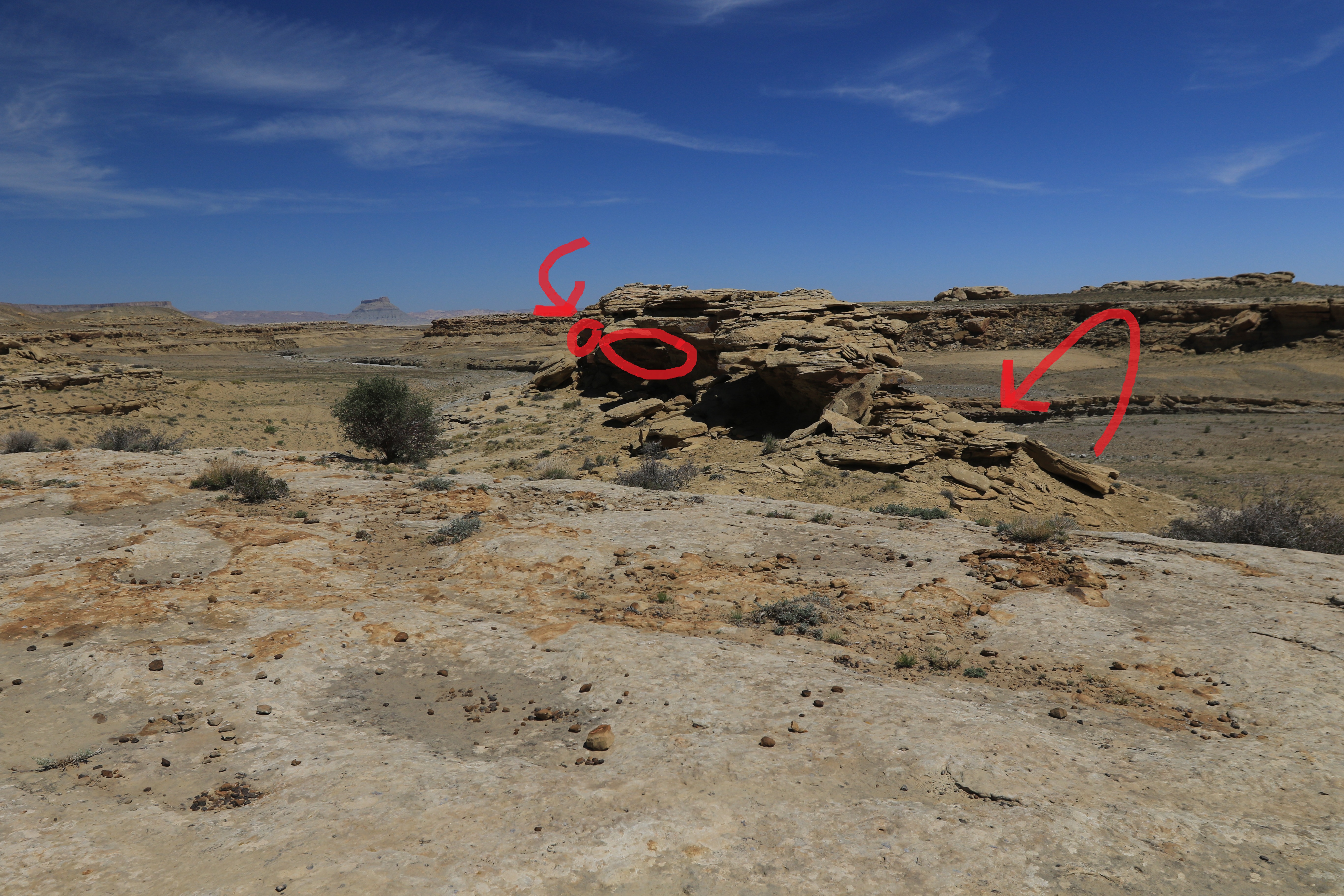
A few hundred feet down BLM 9204 the road runs onto a vast expanse of slickrock that extends all the way to the point. It is an easy stroll whether you park before the slickrock or drive a little further. All the main panels of petroglyphs are along the west side of the ridge all the way out to the end of the point.

The first panel is the only one that we have ever heard a name for and that is the 'Riding Sheep Panel'.

Yeehaw!

The ledge becomes a little more exposed the further you venture toward the point of the ridge.

There are a lot of images out toward the point. This large rectangular bodied bighorn sheep full of men is definitely an interesting one.

The last panel is all the way out on the end of the cliff on a chunk of rock that will probably break off one of these days. If the broken chunk busts to pieces in the process we suppose that that will be the end of the images.
This photo was taken from below after hiking all the way around the point which is an option for anyone that doesn't want to crawl on their hands and knees like we did to see them up close.

