


Round Trip Distance: 0.6 miles
Difficulty: Easy
Elevation: 6663 - 6681 feet
Cellphone: 0 bars
Time: 30 mins.
Trailhead: BLM Catchment Facility
Fee: none
Attractions: cliff dwellings
The Catchment Ruins cliff dwellings are located in the Beef Basin area just south of the Needles District of Canyonlands National Park and 67 miles northwest of Monticello, Utah. The Beef Basin is made up of a connected group of grassy parks, or meadows, washes and canyons. Throughout the area there are a large number of both cliff dwellings and pueblo type structures that were once inhabited by the ancestors of some of the current Native Americans in the southwestern United States.
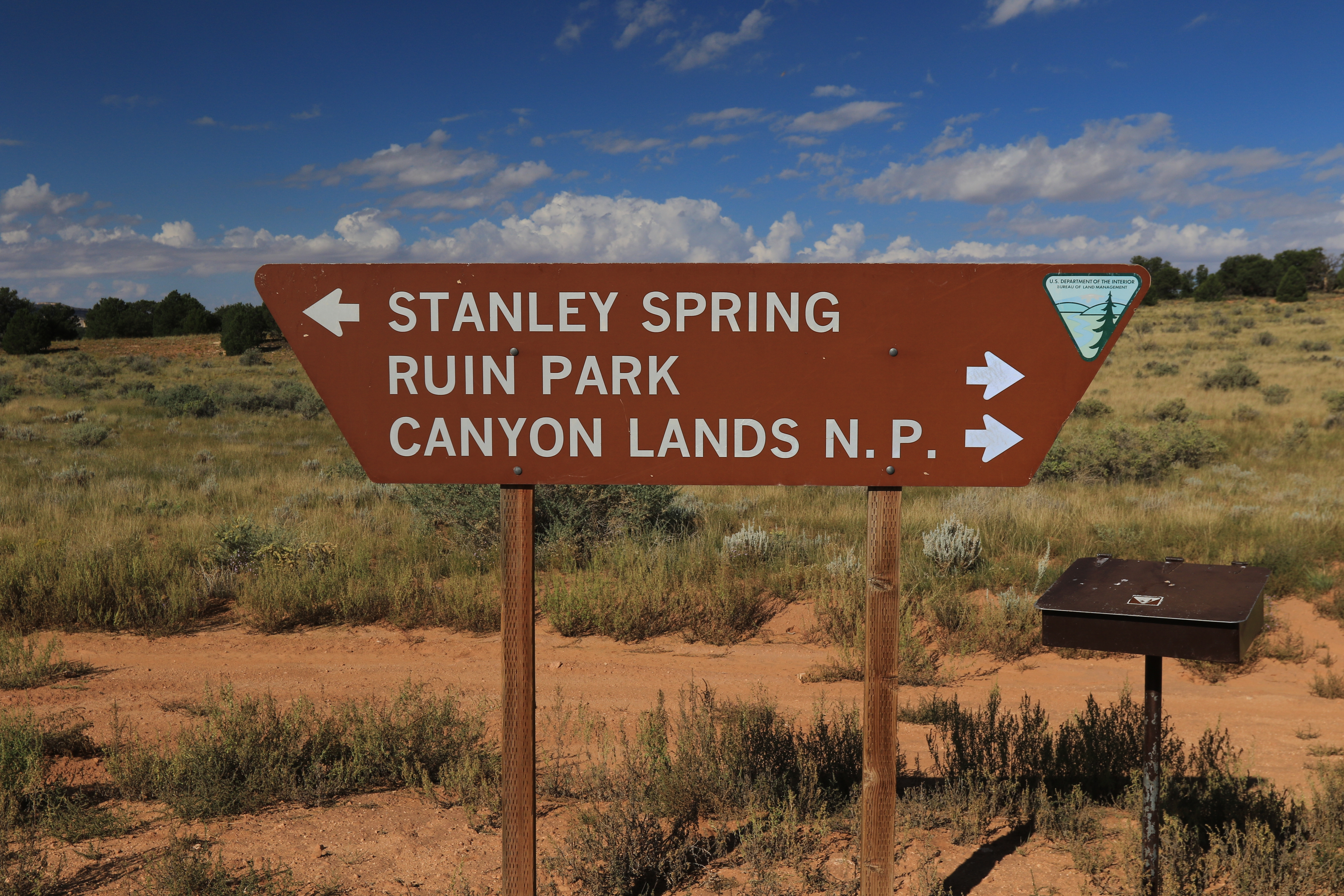
To get there travel north on Highway 191 from Monticello, Utah for 14.3 miles and turn west at the signs for Newspaper Rock and Canyonlands National Park. If coming from the other direction the turnoff is about 40 miles south of Moab. Continue for another 20.2. miles and turn left onto CR 107, the Bridger Jack Mesa/Beef Basin Road. There is a restroom and staging area with lots of parking at the turnoff. Follow CR 107 for 25.4 miles and turn right onto CR 104/aka FR 093. The sign at the turn says 12 miles to Beef Basin. We measured 9.4 miles to the sign in this photo. We strongly recommend 4wd with extra gas and since the area is so remote maybe even a shovel. From here zero your odometer and turn right toward Ruin Park.

At the 1.6 mile point from the last junction there are 2 roads that branch off on the right. Take the second road and continue about a quarter mile to the BLM Catchment Facility.

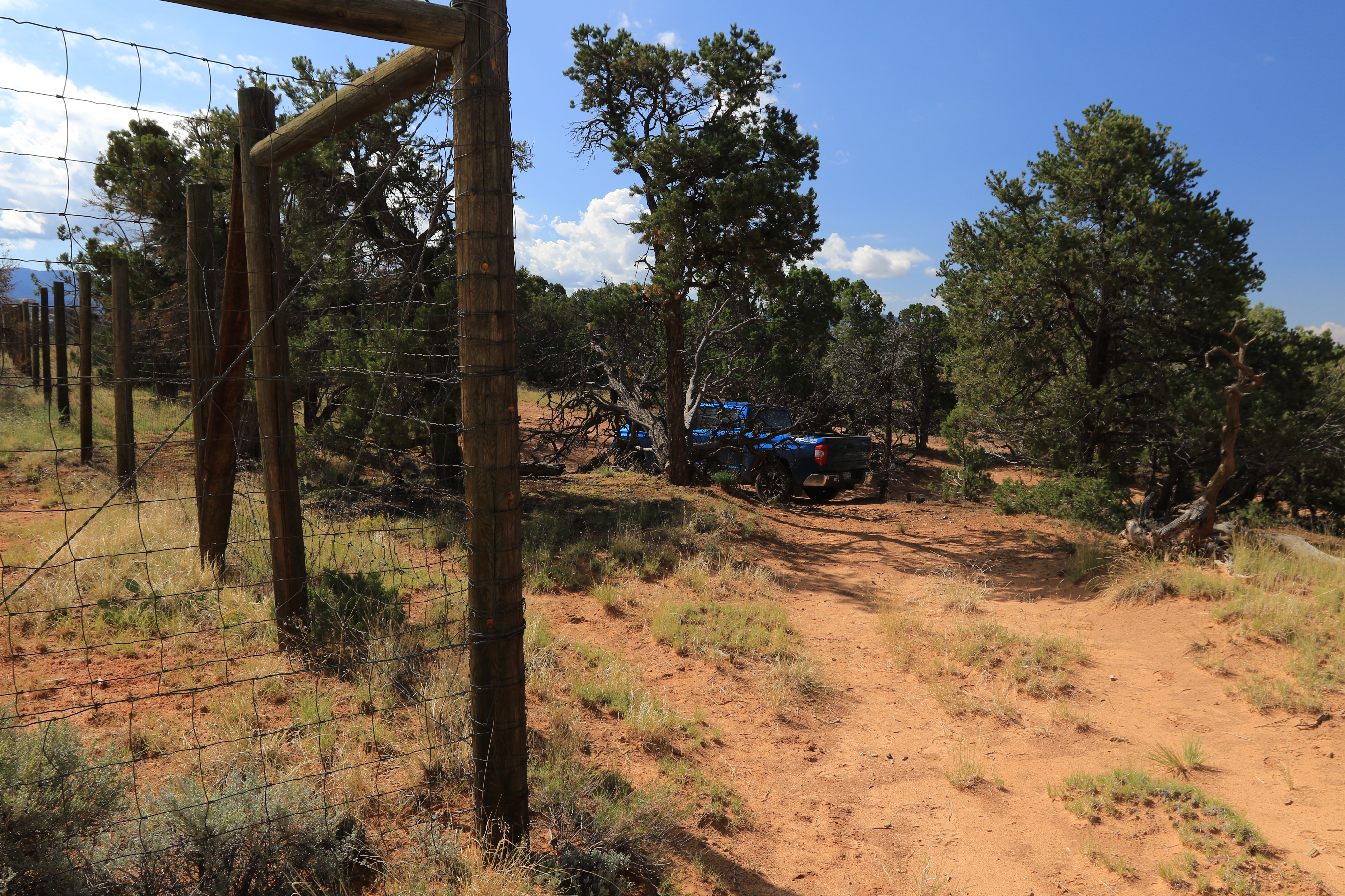
The road forks at the catchment facility. While the granaries can be approached from either of the roads for this post we look the left fork and drove until we found a suitable place to park. From where we parked we began hiking by heading around the corner of the fence that encloses the facility.
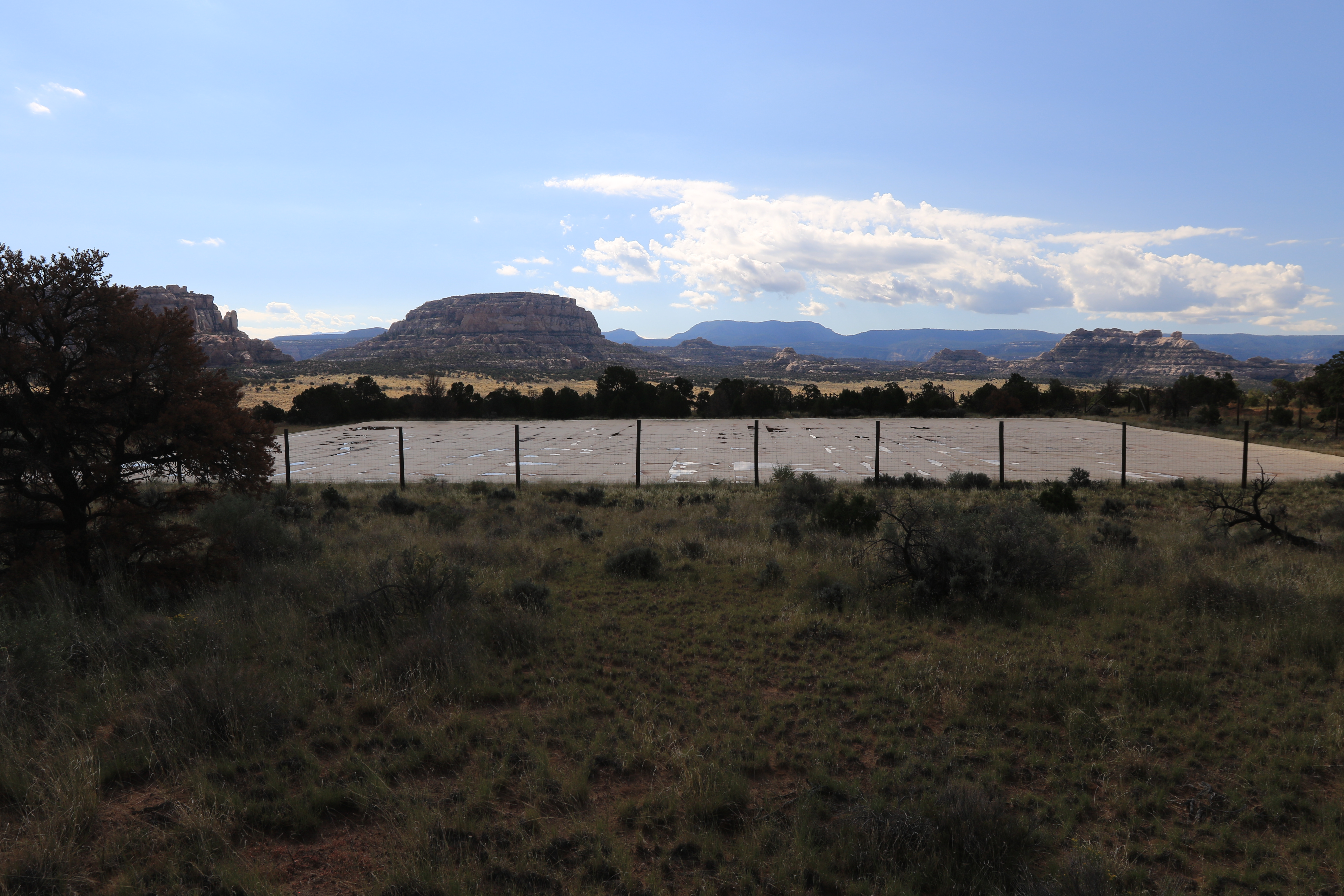
While it is obvious how they go about capturing rainwater at the facility what they do with it afterwards is a little harder to figure out.

The granaries can be seen from where we began hiking. A pair of binoculars make them easier to pickout. They are located down close to the ground at the base of the distant cliffs. The trail along the fence provides a good easy to hike route for starting out.

At the end of the fence where it makes its next corner there is no obvious trail that leads to the granaries and they tend to disappear behind the trees the closer you get so about all you can do is plot a mostly straight course in that direction.

There is a shallow wash to cross right before reaching the granaries that might make a good route to follow if you choose to start from the other side of the catchment facility.

These cliff dwellings may have gone through several periods of construction. The entire roof is blackened all the way from the back of the cave to the outer edge of the cliff making it appear like it may have been first used as a rock shelter before any walls were built. A stub wall all the way out at the opening may have been later used to enclose the entire cave or it may have been for an outer room that enclosed the two that are current. Either way it is something interesting to think about.

The large variety of pottery shards at the site might indicate trading with other areas or seasonal migrations. An archeologist can probably tell where each pot originally came from so be sure to leave everything right where it is and maybe someday we will know more of their story.

The Catchment Ruins might be considered a minor site but in our opinion they are well worth the little time it takes for a visit. If you would like to see it for yourself then all you have to do is 'Take a hike'.