


Round Trip Distance: 0.4 miles
Difficulty: Easy
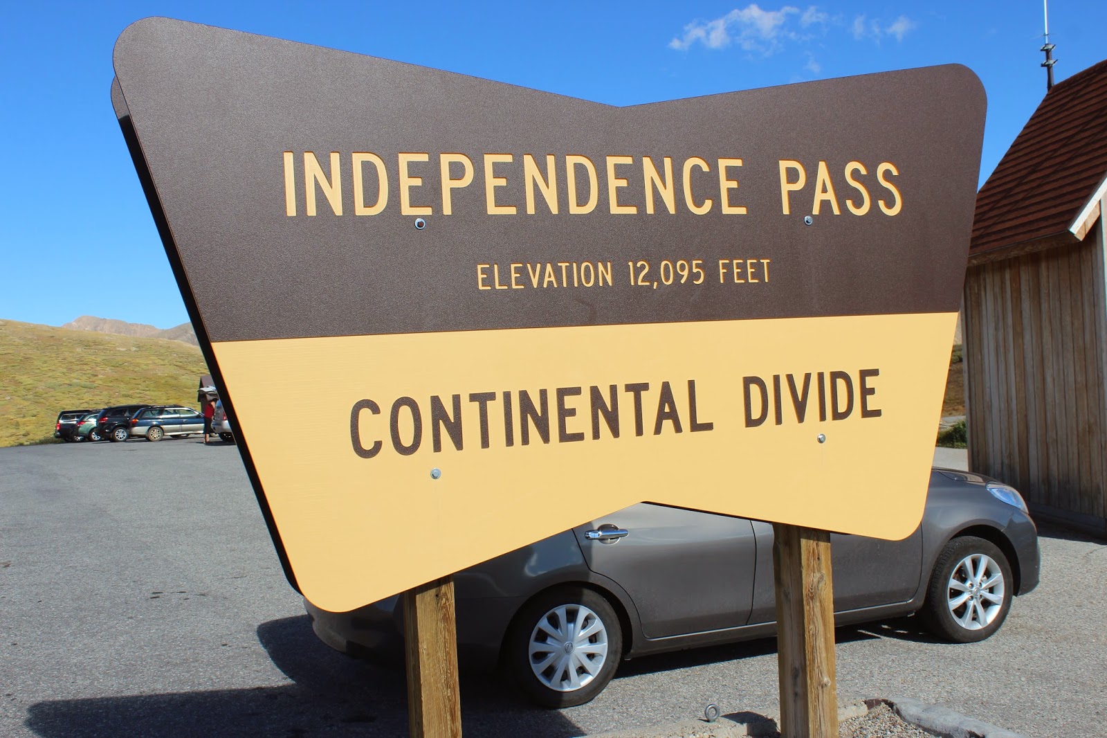
Elevation: 12,095 - 12,134 feet
Cellphone: 0 bars
Time: 30 mins.
Trailhead: Summit parking area
Fee: none
Attractions: Continental Divide, scenic views
View Independence Pass in a larger map
The summit of Independence Pass is a popular stop on Highway 82 east of Aspen, Colorado. Just as travelers like stopping to have their picture taken when crossing the borders between each of the states they also like to snap a photo in front of the sign on the summit of Independence Pass marking the Continental Divide that separates North America's rivers that flow to the east from those that flow to the west. A short trail on the summit leads to an overlook with views of La Plata Peak (14,360 feet) and several peaks that are above 13,000 feet.
Colorado has the highest average elevation of all the United States so it stands to reason that it would also have the highest highways. Mt. Evans is the highest paved road in North America followed by Pikes Peak. Both of those are dead end roads that are above 14,000 feet. Trail Ridge Road, in Rocky Mountain National Park, is the highest through road and Independence Pass is the highest Colorado Highway thoroughfare. The summit trailhead is about 20 miles east of Aspen and 24 miles west of Highway 24.

The trail is paved and wheelchair accessible. There might be a little frost heave in places but it is generally pretty smooth. Even in the middle of summer you might want to have a sweater or light jacket handy.

La Plata Peak is one of the 15 peaks of the Sawatch Range that has an elevation above 14,000 feet. Located in the Collegiate Peaks Wilderness Area it is the 5th highest of the more than 50 peaks in Colorado that are called 14ers. Mt. Elbert, which is the highest point in the State of Colorado and the entire chain of the Rocky Mountains, at 14,439 feet, is located a few miles further north. It is obscured from view on Independence Pass by a high ridge of peaks.

Mountain Boy Gulch is immediately to the south with several 13,000 foot peaks beyond that. Did you know that if you leveled the state of Colorado the elevation would be 6,800 feet?

Looking west towards Aspen someone familiar with the area might be able to pick out other 14,000 foot peaks like Capitol Peak and the Maroon Bells.

The parking lot stays pretty busy here with people coming and going. Most people only take about 30 minutes to use the facilities, hike the short trail, and take a selfie in front of the sign for the Continental Divide. This is one of the easiest places, other than Trail Ridge Road, to experience an alpine environment. Of course, like Trail Ridge, Independence Pass is closed in the winter which up here can be from sometime in October until the first of June. If you would like to see it for yourself then all you have to do is 'Take a hike'.