Round Trip Distance: 0.2 miles
Difficulty: Easy
Elevation: 5961 - 5967 feet
Cellphone: 0-3 bars
Time: 30 mins.
Trailhead: Rattlesnake Point
Fee: $10/vehicle
Attractions: pueblo
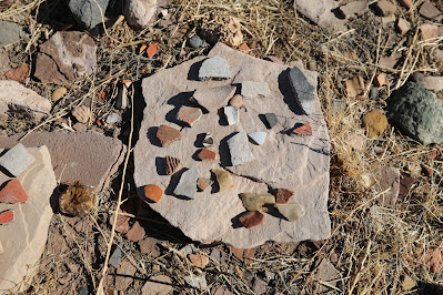
The Rattlesnake Point Pueblo is located 17 miles north of Springerville, Arizona in the Lyman Lake State Park. The one story pueblo had between 80 and 90 rooms. Three of those rooms have been preserved beneath a shelter for visitors to see who visit the site. Samples of pottery shards are also on display.
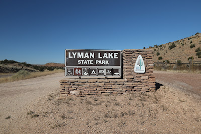
For turn-by-turn directions you can enter 'Lyman Lake State Park' into your driving app. The park is right alongside US Highway 191 which runs north through eastern Arizona and up through Moab, Utah.
Once you arrive at the park and pay the requisite entrance fee you can obtain a map showing the location of the ruins. The site, which closes at 5 pm, is accessible to normal highway vehicles.
A constructed trail leads from the parking lot, across the area where most of the ruins have been buried for preservation, to the shelter.
A sign at the shelter has a map of the ruins as well as some interesting information about the site.
Beneath the shelter 3 of the rooms are exposed for viewing.
What looks like a storage cyst can be seen in the floor of one of the rooms.
Samples of pottery are on display outside the shelter.
Be sure to leave all pottery and other artifacts where you find them for others to enjoy. They are as interesting as the pueblo itself.
The Rattlesnake Point Pueblo ruins are a nice addition to a visit to see all the petroglyphs along the Peninsula Petroglyph trail or while camping at Lyman Lake State Park. If you would like to see them for yourself then all you have to do is 'Take a hike'.


