Round Trip Distance: 5.6 miles
Difficulty: Easy
Elevation: 6143 - 6545 feet
Cellphone: 0 bars
Time: 2 hrs. 30 mins.
Trailhead: Ruin Canyon/Beef Basin Rd.
Fee: none
Attractions: pueblos, cliff dwellings
Ruin Canyon Castle is located in the Beef Basin area southwest of Monticello, Utah in Ruin Canyon. The multi story ruins, with their numerous rooms, sit on top the point of a ridge about 2.5 miles from the Beef Basin Road. From the formidable Castle Ruin the Ledge Ruin is in view about midway up a cliff just to the north. Three other pueblo type ruins are also nearby about a mile and a half up the left fork of Ruin Canyon.

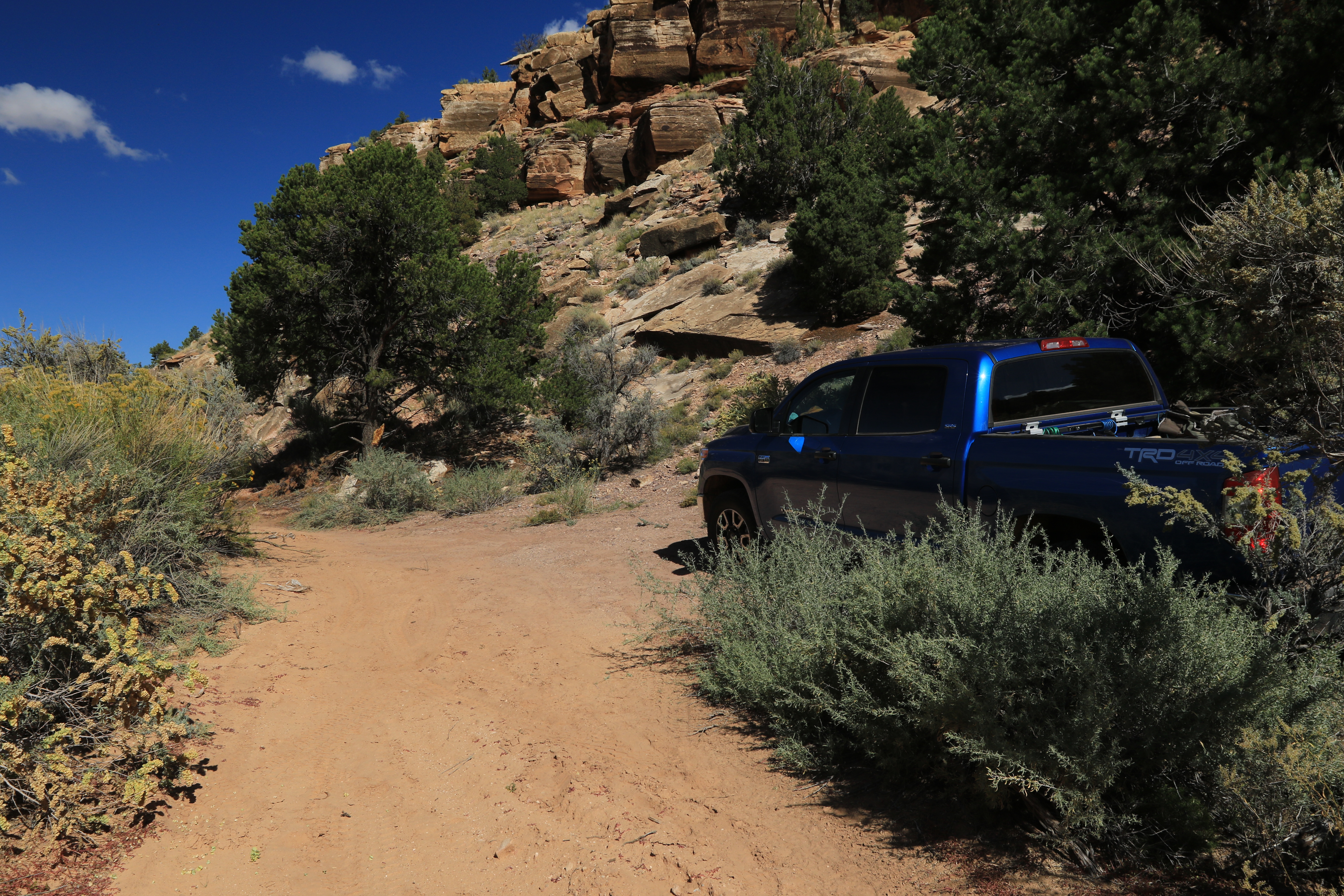
This post picks up where the Ruin Canyon Granary left off so begin by finding your way to that point first and then continue following the 4wd road up the canyon.

At the 2 mile point from the Beef Basin Road there is a fork where the canyon splits. To get to Ruin Castle take the right fork. The road continues a few hundred more yards and crosses the wash that runs down the middle of the canyon. At that point the road is washed out enough that most people will want to park and continue on foot for the last quarter mile to the ruins.

Eventually regardless of how you get to the base of the hill below the ruins the last little bit has to be done on foot. The climb is pretty steep but it's also nice and short.

As you come up on the ruin the bulk of the remains is an impressive sight. It appears that part of the original structure was at least 3 stories high.

A lot has been done to stabilize the remaining walls. Be careful around the walls to avoid getting buried under a pile of rubble. It is easy enough to explore the entire ruin without entering the rooms with the highest walls and the narrowest passage ways.

We never thought about trying to count the rooms but at its zenith it may have exceeded the Farmhouse Ruins in size.

This pile of rocks is from a section of wall that fell over in one piece. It doesn't appear that it was tied in very well with the rest of the wall. It may have been a short wall to begin with that surrounded a courtyard.

Interestingly the doors are similar in style to the keyhole shaped Chacoan doors that are wider at the shoulders than at the knees.

A careful study of the cliffs to the north should reveals a very nice, well preserved, ruin that looks like a granary. It wouldn't have been too difficult to climb up to the ledge the ruin sits on but we opted to let the zoom lens to do the work. There are a few pictographs on the cliff to the right of the ruin.

Back at the spot where the left fork of the canyon begins you should be able to spot a large ruin sticking up above a large pinon tree. We hiked up the left fork for about a mile trying to get a view that wasn't blocked by the tree but eventually gave it up. If we would have kept getting closer the edge of the cliff would have started blocking the view. The ruin sits on a bench where it would have taken a good bit of time searching out a route up the very steep cliffs The ruin is easy to spot if you zoom the map in while in Google satellite view as is another that is next to it and one that is on the opposite side of the canyon.