


Round Trip Distance: 4 miles
Difficulty: Easy
Elevation: 4956 - 5030 feet
Cellphone: 0 bars
Time: 2 hrs.
Trailhead: Bloody Hands Gap
Fee: none
Attractions: pictographs
Bloody Hands Gap is located on the eastern edge of Capitol Reef National Park a little south of Notom, Utah. The gap gets its name from a pictograph panel that has 7 distinct right hands all painted in red. Ancient inhabitants probably traveled the route seasonally through the gap going to and from the lower elevations of the reef where winters are a little warmer to the higher ranges of the Henry Mountains where game animals are more plentiful.

From Hanksville head west on UT-24 for 28 miles and turn south onto the Notom Road. If coming from Torrey it is 19.7 miles east on UT-24 to the Notom Road.

Follow the Notom Road south for 7.4 miles and turn left onto the Burro Wash Road.

Continue for another 2.6 miles to the trailhead. The Burro Wash Road is prone to damage from flashfloods. Depending on recent maintenance it may either be passable for highway passenger 2wd vehicles or it may require a high clearance 4wd. The last time we drove the road was 2 days after a major rain. We had to use a shovel to fill in some ruts that were over a foot deep. The sand is very easy to move and packs into a very solid mass. It only took us 15 - 20 minutes longer to get to the trailhead including the time to do the road work.

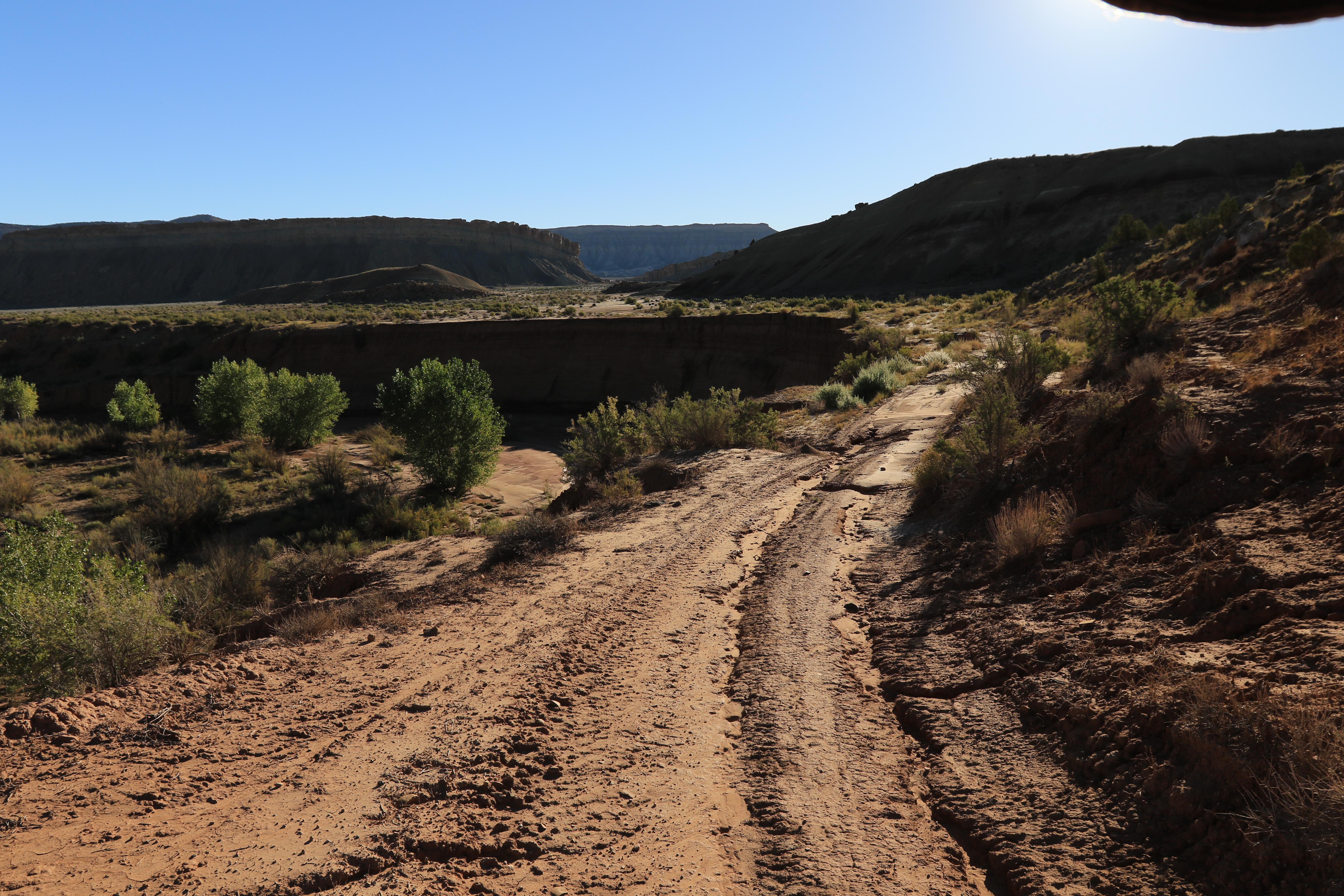
The area around the trailhead is thickly overgrown with willows and such making it a little more difficult for those not using GPS devices. At one time the Burro Wash Road was drivable all the way to Bloody Hands Gap and is actually still open to any ATVs or dirt bikes that want to give it a try. Following traces of the old road make hiking through the wash quite a bit easier. It can be a rather pleasant hike through the scenic little wash if you don't mind the route finding.

The most important part of the hike is being sure to meet up with this road near the half mile point that is on the south side of the wash. Past this point the sides of the wash get so high that it is very difficult to get out. Up ahead the wash even turns away from Bloody Hands Gap and heads north. There is a labyrinth of other washes where it is possible to get back on track but we aren't going to take the time to explain them.
After the road leaves the wash it travels cross country above it to Bloody Hands Gap which is visible about a mile and a half up ahead. Be sure not to get too close to the edge of the wash where the ground is less stable. We actually heard a huge chunk of it fall in somewhere behind us.

There is another deep wash that the road dips in and out of that comes up at the 1.2 mile point.

After crossing that deep wash the road makes a dog leg to get around the end of another shallower wash before heading off on a beeline to Bloody Hands Gap.

The Bloody Hands Panel is right in the narrows of the gap and not likely to be passed unnoticed.

The painted hands themselves show up quite well. There are a few other images present that are indistinguishable.

This end of a small petrified limb is interesting. The very fine tree rings are distinguishable while the core of it is agatized. There are plenty of specimens of petrified wood elsewhere if you just gotta have one so don't try to chip this one out of the cliff. This area is just outside of Capitol Reef National Park so rockhounding is permissible. If you are inside of Capitol Reef's boundaries then it is illegal to pick up anything. Also remember that while rockhounding might be permissible removing artifacts if you find any is illegal.

 Bloody Hangs Gap is a well known site that has shown up on maps for decades. We actually noticed it on a map at least 10 years before we finally made our first visit. There are probably at least a handful of hikers that make the short hike each year judging from other tracks. There is only the one panel of painted hands but if you would like to see it for yourself all you have to do is 'Take a hike'.

