


Round Trip Distance: 3.4 miles
Difficulty: Easy
Elevation: 2800 - 2895 feet
Cellphone: 0-4 bars
Time: 3 hrs.
Trailhead: Tukupetsi\Enepitsi
Fee: none
Attractions: petroglyphs, pictographs
The Enepitsi, or Ghost, trail is located in the Santa Clara River Preserve northwest of St. George, Utah. The trail travels along the base of the cliffs in a long shallow canyon that was carved out by the Santa Clara River. The sides of the cliffs and multiple large boulders are extensively decorated with numerous geometric and biomorphic images left by the areas ancient inhabitants and their descendants who comprise the Southern Paiute people. Besides the numerous petroglyphs, at one point of the trail, there are a score or so of pictographs that can be seen through the trees on the west side of the river.

The easiest way to find the trailhead is by searching in your driving app for either the Tukupetsi or Enepitsi trailhead. Short of that take Exit 6 on I-15 and drive northwest on Dixie Drive for 4.6 miles and turn left onto Sunset Blvd. Continue for about 2.8 miles and turn left onto the Graveyard Wash Road where there is a sign for the Santa Clara City Public Works. There will be a large parking area on your left after after about 0.38 miles. The trailhead itself is directly across the road from the parking area.
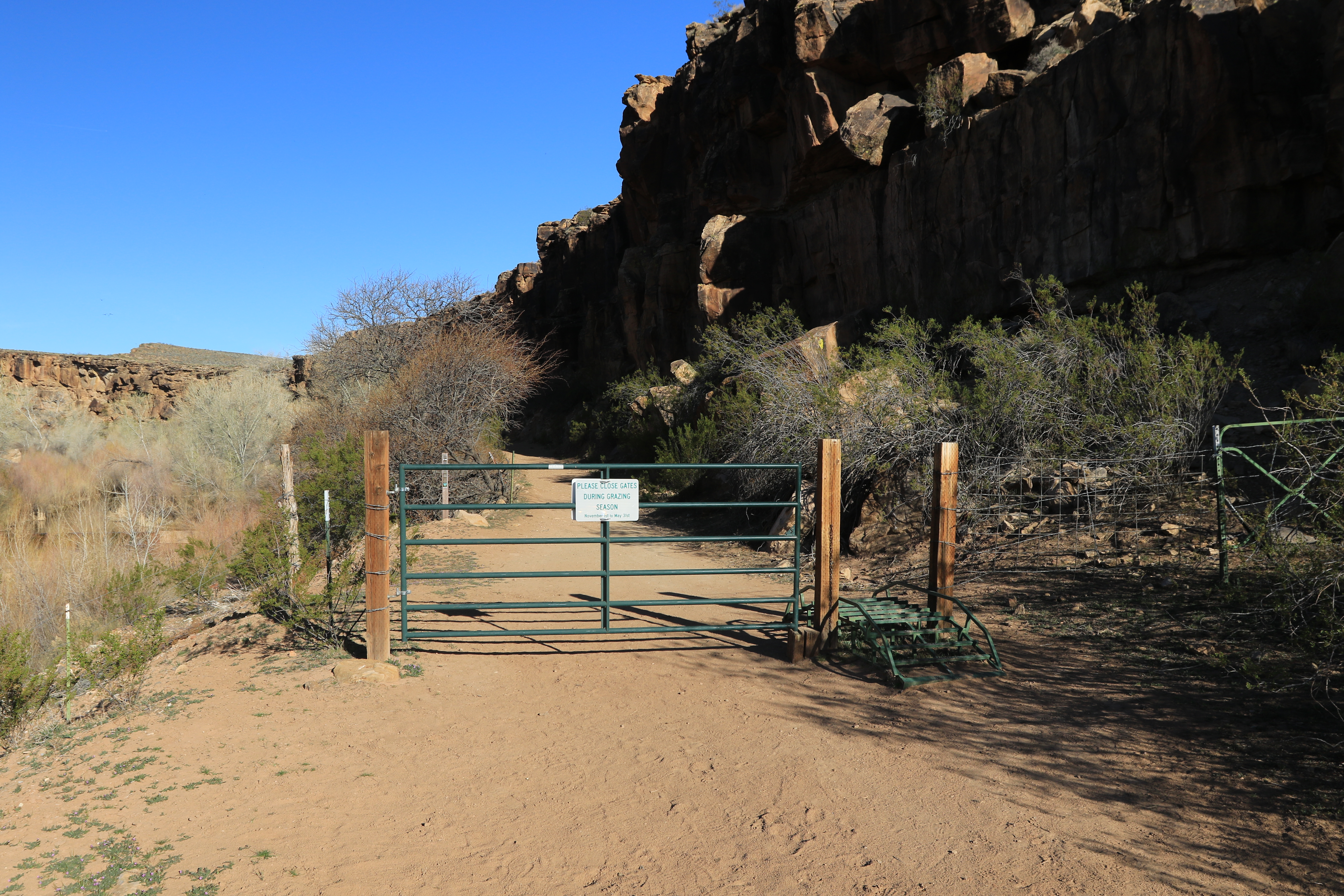
The trail starts out climbing along a fence before coming out onto an old dirt road where it drops down into the river corridor. There are several other trails that branch off on the right that lead away from the river.

As soon as you pass through the gate begin looking on your right for petroglyphs. The very first images are actually a few feet outside of the gate. There are some interesting images on top of one of the large boulders between the cliff and the road. One is of an upside down, or dead, man. For the first hundred yards or so images can be found on the cliff seemingly one right after the other as you progress along the trail. Some of them are obscured by brush and harder to get close to.

This polycephalic image that is high up on the cliff is something to ponder. The 3 dots are an interesting and perplexing addition.

This photo can be better viewed if you click it to enlarge the picture. The panel has several interesting images. The grid shaped figure with the darker lines is an anthropomorphic character with legs, at least one arm, and one antennae looking horn. It might also have a bird perched on its shoulder or bicep. Above its head is a spoked circle. The image to the right might be another anthropomorphic figure with a fringed garment that has in irregular shaped geometric spoked pattern on its body or vestment. Off to the right are 2 smaller figures that are common in the area that we think of as ancestral persons with the one on the left being a male. These 2 personages are white so perhaps they are some of the 'ghosts' that are implied in the trails name.

This panel of geometric images is one of many that are higher up on the cliff.

Using the previous photo for a reference there are a couple of panels of pictographs in a sheltered part of the cliff on the west side of the creek. They might be on private property but they can be seen pretty well from the east side of the creek. The trick is finding a view that isn't blocked by trees and willows.

This boulder is labeled p4 on our map. It is far enough from the trail that it is very easy to miss. We took quite a few photos but didn't notice until we examined them on the computer that there were more images on the left side of the boulder that we hadn't bothered to focus on.

This large boulder is labeled p8 on our map and sits maybe 100 feet off the trail. It is a little reminiscent of someone that has tattoos from head to toe with little or no bare spots remaining.

Right around the 1.6 mile point there is a smaller trail that branches off on the right. With all our wondering on and off of the trail the distance might be a little less but it is the only connecting trail that goes off to the right.

A few hundred feet further there are large boulders on each side of the trail that have numerous images all around. Be sure to even look for a chunk of rock on the ground that broke off from the boulder on the left side of the trail that has some good images.

Some of these images here are densely packed as well. There is a brown carsonite trail marker a little further up the trail that says 'Leaving Public Land' and that is where we turned around and headed back.

