


Round Trip Distance: 2+ miles
Difficulty: Easy
Elevation: 5161 - 5246 feet
Cellphone: 0 bars
Time: 2 hrs.
Trailhead: Big Hole Wash
Fee: none
Attractions: Scenic canyon, petroglyphs
Big Hole Wash is located in the northeast corner of the San Rafael Swell between Green River and Price, Utah. The lower end of the wash begins off of the Cottonwood Wash Road where it extends upstream for just over 2 miles and dead ends at a big spillover. An easily accessible petroglyph panel can be found along the wash at the 1 mile point from the trailhead.

The shortest route to the trailhead from Green River is to take Interstate 70 Exit 157 and drive north on Highway 191 toward Price for 11.1 miles and turn west onto the Green River Cutoff Road. Follow this road for 12 miles and turn left (south) onto the Cottonwood Wash Road. Follow the Cottonwood Wash Road for 2.3 miles to the sign in this photo and park anywhere out of the way near the mouth of the wash.

Route finding is as simple as following the wash upstream.

The wash bottom is rough and uneven in places. Anyone on horseback can find an easier trail that runs along the edge and travels a lot faster. We stayed in the wash on the trip out and took the side trail on the way back.

As the route progresses up the wash the walls gradually get higher and higher
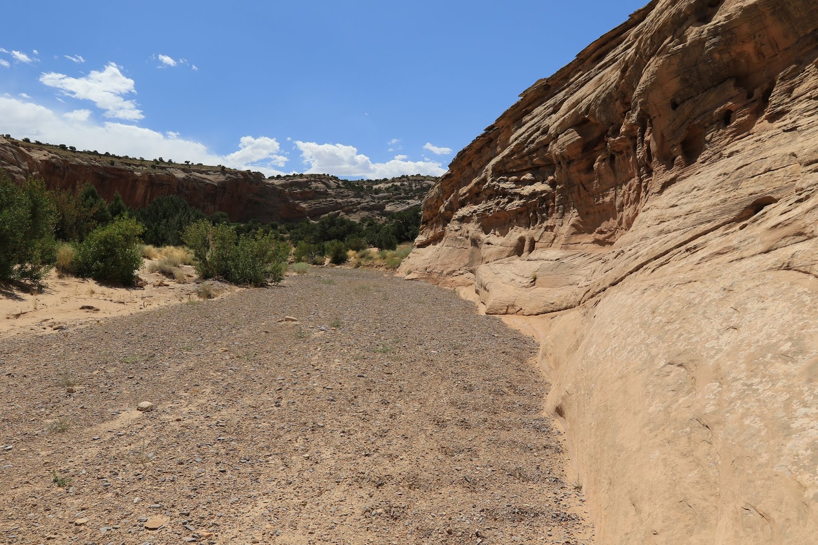
The wash has enough gravel mixed in with the sand that its relatively easy to hike without sinking in and turning to drudgery.

Near the 1 mile point the canyon wall on the left rises high above the wash. The petroglyphs can be found here where the white sandstone ends and the red begins.

One of the first images really grabs your attention because interestingly enough it resembles a cartouche.

We traced most of the images in this panel on the computer to make them stand out. The images on the darker surface are covered with so much patina that they don't stand out much at all. They also include at least one atlatl and appear to be older than some of the others that have only a little patina and depict the use of the bow and arrow.

We didn't trace this panel but if you look close on the right hand side there is a starburst made around a small hole that brings to mind the supernova pictograph of 1054 in Chaco Canyon. It's not that it looks just like it but rather that it reminds one of a bright or perhaps exploding star. We're by no means trying to make a claim here that this is a petroglyph of that historic event. It brought to mind a celestial event and the supernova is one that we remember. The whole panel is so worn that it's hard to make out much of anything and it may have been created long before the year 1054..

We continued another half mile past the petroglyphs to get more of a feel for the canyon. It was still beautiful and very easy going when we turned around but it was also right around 100 degrees in the open wash and probably a lot hotter up next to the walls of the canyon. From here it should be just under a mile to the spillover.

