


Round Trip Distance: 2.3 miles
Difficulty: Moderate
XC Skill level:
Elevation: 8106 - 8387 feet
Cellphone: 0-2 bars
Time: 2 hrs.
Trailhead: Dave Wood Nordic
Fee: none
Attractions: Advanced Nordic trail
Plantation Alley is located at the Daved Wood Winter Recreation Area in the Uncompahgre National Forest near Montrose, Colorado. The trail begins at the apex of the Branson Loop where it loops around to a scenic valley that it travels down until it comes to an end at a junction with the Happy Hollow trail. Enroute it is connected to by the Dewdrop and DP trails.

The trailhead is about 15 miles west of downtown Montrose. To get there drive west on Main Street from Townsend Avenue and follow the signs for Colorado Highway 90 for about 4 miles. Watch for the sign for the Dave Wood Road where you will turn left. Continue for another 11 miles or so. The trailhead is on the right at the forest boundary. There is additional parking across the road on the left.

The Plantation Alley trail starts out at the top of the Branson Loop where that trail turns back toward the east and shortly meets up with the Happy Hollow trail. While the trails are all marked they aren't labeled and that can make it hard to know which trail you are on, especially if you don't have a map to go by. Where two or more trails connect there will be 4x4 wooden posts so with that information all you have to do is study your map when you come to a wooden post and determine which intersection you are at.

This part of the trail is slightly uphill but you can still get a good glide going if you are on skis.

The trail comes to a marker where it makes a 90 degree right turn. A little past that it crosses an awkward dip that judging from the tracks in the snow more than a few people were having trouble with.

As the trail continues looping around the metal fence posts with the bright orange sticks give way to brown mylar markers with blue diamonds on them.

The trail finds its way into a hallow that it follows heading slightly downhill.

The first time that we did the Plantation Alley trail we got off course in the hallow where there is a shallow stock pond. We followed another skiers tracks to the right that had lost the trail and didn't know where they were going. Once we figured out that they were apparently planning to head east until they reached the Spring Creek Road or another trail we took advantage of our GPS and headed cross country to get back to the Branson Loop. We came back a week or two later to give it another try but by then most of the snow had melted. We did end up finding a blue diamond on a log right where we had originally gotten off course. The first time we were here that log was buried under the snow.

It is less than 500 feet from the stock pond to a wooden post that marks the point where the upper end of the Dewdrop trail begins.

From the Dewdrop trail it is just under 4 tenths of a mile of pretty easy trail to where the DP trail branches off on the right. The DP trail drops down into the same hollow that the Plantation Alley trail had been in earlier. As it comes out of the hollow it is met by the lower end of the Dewdrop trail and a little past that it meets up with the Happy Hollow trail and comes to an end. The DP trail is less than a quarter mile long so all that happens in a short distance.

From the DP trail the Plantation Alley trail keeps looping around. It comes to a spot right before a very big and cool looking ponderosa pine where the tracks show that everyone is going around on the left side. Off to the right there are markers with blue diamonds but nobody is going that way. Whichever way you choose to go both routes converge after a couple of hundred feet.
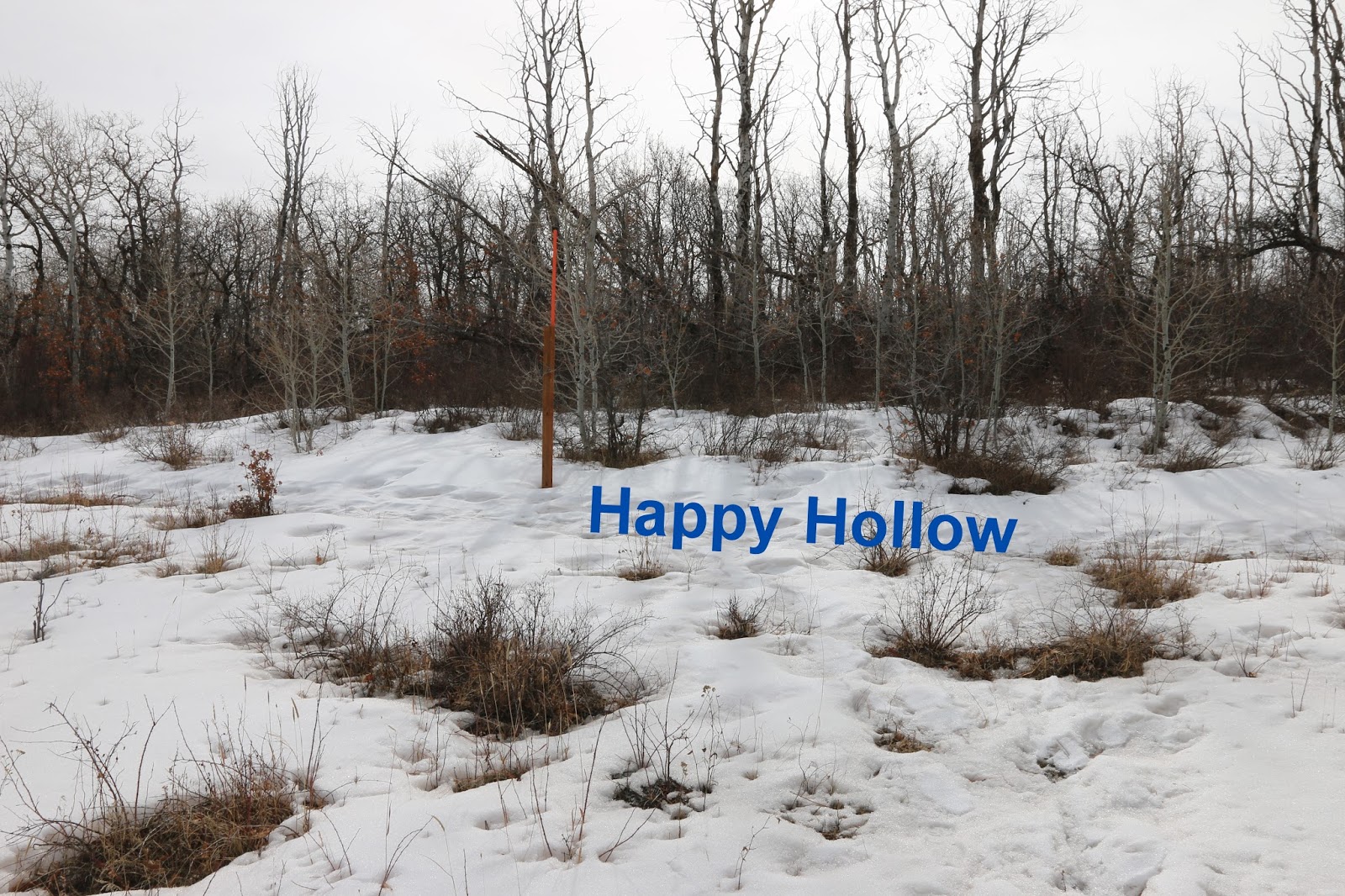
The Plantation Alley trail keeps looping around until it crosses the shallow end of the hollow and makes a short climb up to the Happy Hollow trail and comes to an end. The quickest route back to the trailhead from this point is to the left.

 |
| Courtesy US Forest Service |