


Round Trip Distance: 0.2 miles
Difficulty: Easy
Elevation: 3990 - 4059 feet
Cellphone: 0-3 bars
Time: 30 mins.
Trailhead: FR 588 MM 1
Fee: none
Attractions: pueblo ruin
The Copper Creek Ruin is located in the Tonto National Forest, bordering on the Agua Fria National Monument, northeast of Black Canyon City, Arizona. The small rubble pile ruin sits on a hill overlooking the drainage of Copper Creek and has a line of sight with other pueblos in the area such as those along Hackberry Wash and the Big Rosalie Pueblo and perhaps many more on Perry Mesa.

There are multiple routes that you can take to get to the Copper Creek Ruin. The most direct is to take the I-17 Exit 259 and follow the Bloody Basin Road east. At the 11.3 mile point you will pass the kiosk at the junction with Agua Fria 9014. Continuing past that the Bloody Basin Road leaves the Agua Fria National Monument and enters the Tonto National Forest.

At the 12.8 mile point of the Bloody Basin Road turn right onto FR 36.

After a tenth of a mile or so FR 36 turns to the right and heads over to 9014. Continuing straight ahead the route transitions onto FR 588.

As FR 588 continues the only real rough spot where a high clearance vehicle is needed is about a quarter mile from the ruins where the road drops down into the wash of Copper Creek.

As FR 588 climbs out of the Copper Creek wash it is only another 750 feet, or 0.14 miles, to where the ruin will be on top of the mesa directly to the right or west of the road.

This ruin is so seldom visited that at present not even a faint trail is visible or yet even an obvious place where any vehicles have pulled over to park.

Even without a trail it is a simple matter to take it on faith that there is a ruin and walk up the gently sloping hill for only about 500 feet and there it is.

The ruin probably had around 20 - 30 rooms. At present it is much overgrown with brush and blown full of dirt.
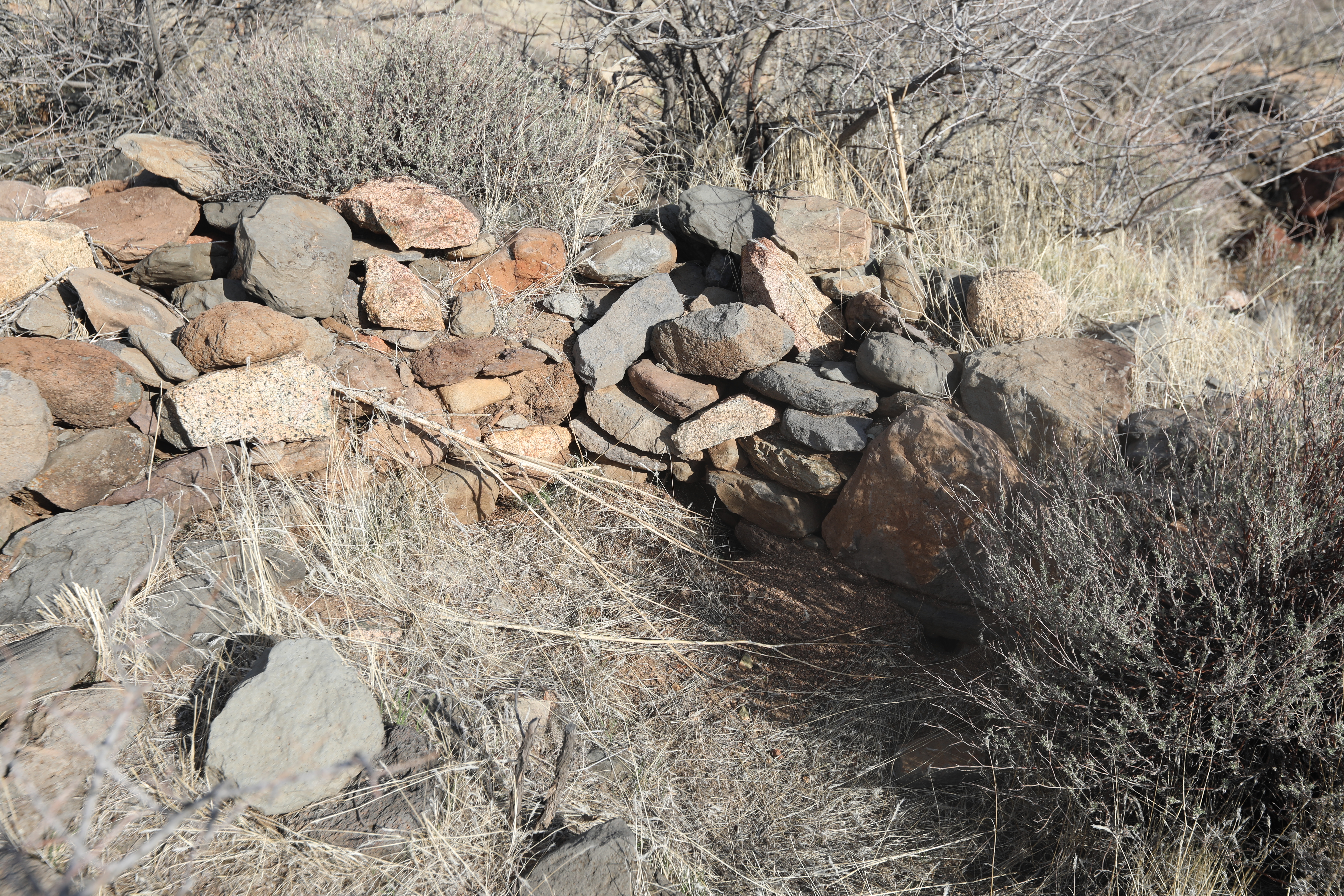
In only a couple of places can any stacked stones be found. The one thing that is very noticeable is that whereas the pueblos in the Agua Fria National Monument, that are ever so close, are all constructed with lava rock, here the walls were built from granites and sedimentary rocks.

The style of pottery though is pretty much identical as those other ruins.

