


Round Trip Distance: 1-2 miles
Difficulty: Moderate
Elevation: 3952 - 4176 feet
Cellphone: 1-4 bars
Time: 1 hr. 45 mins.
Trailhead: Amasa Back/Jackson Hole
Fee: none
Attractions: Petroglyphs, granary
The Moab Maiden is a petroglyph site located above the Kane Springs Road near Moab, Utah. The petroglyph is on a boulder that rests on a ridge that overlooks the mouth of the canyon where Kane Springs Creek flows into the Colorado River. Other petroglyphs can be found nearby at the point of another cliff as well as the ruin of an Ancestral Puebloan granary and pithouse.

The Moab Maiden can be accessed from either the Jackson Hole or Amasa Back trailheads. The Jackson Hole trailhead is preferable but when the water is high in the creek or the river is backed up into the canyon the Amasa Back trailhead is the only choice and that was the case for this post. The Amasa Back trailhead is about 5.3 miles from Moab measuring from the intersection of Highway 191 and Kane Creek Blvd. Turn onto Kane Creek Blvd. at the McDonald's Restaurant and follow it as it parallels the Colorado River for about 4.6 miles before turning up Kane Creek. The Jackson Hole trailhead is at the 4.6 mile point and the Amasa Back trailhead is near the 5.3 mile point.

From the parking area follow the trail near the hitching post that drops down to the creek. Be warned that this route requires some scrambling that might not be suitable for some people.

After the trail reaches the bottom cut through the primitive campsite under the large cottonwood and head toward the point of the hill that juts into the canyon.

After going around the point of the cliff the challenge appears. What is needed is to get out of the creek bottom and get up to a trail that is higher up. The best option for that seems to be a boulder that isn't too difficult to climb up on. From the top of the boulder it is easy enough to step over onto the cliff and begin climbing higher.

After the first initial climb the trail reaches a small bench. From here it is necessary to scramble up one more level.
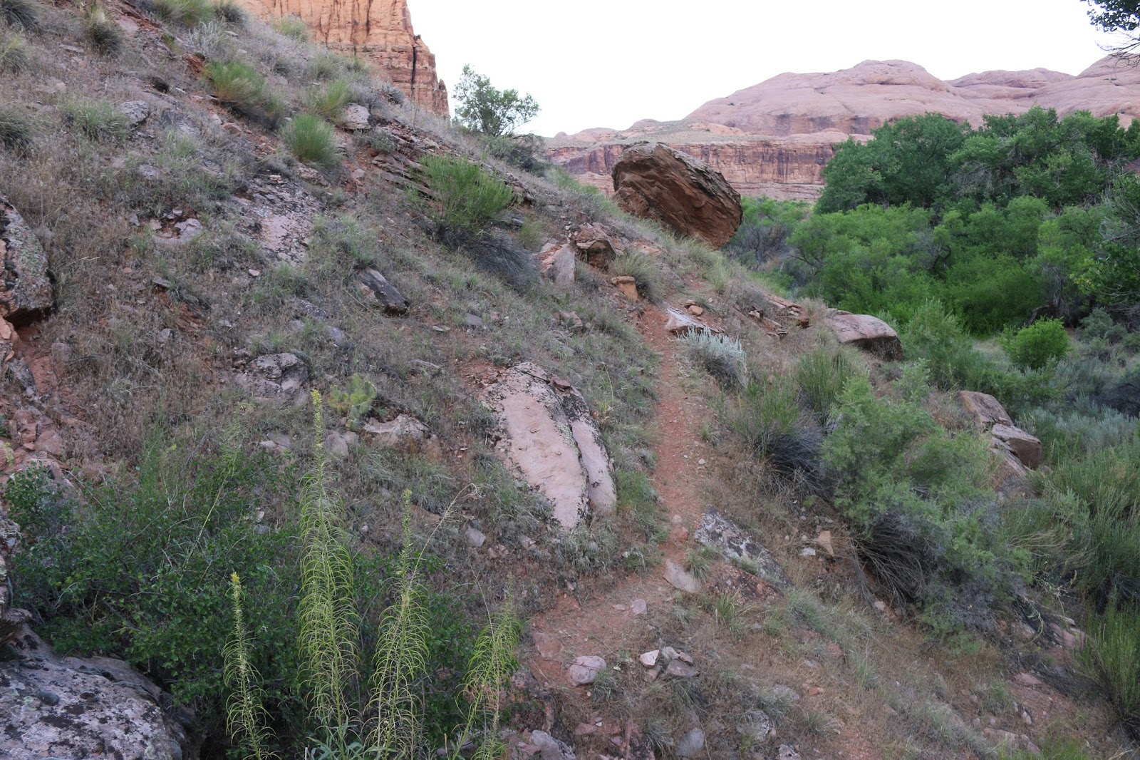
If you persevere you will find a faint narrow trail that heads toward the mouth of the canyon.

The trail eventually runs into the main route that splits off of the Jackson Trail. If you were fortunate enough to begin at the Jackson Hole trailhead then this is also the spot where you would leave the Jackson trail to get up to the Moab Maiden.

The trail does a little more climbing to get up to more level ground. At the spot in this photo the trail reaches an area of slickrock that runs left to right. The Moab Maiden is to the left and the granary, pithouse ruin and other petroglyphs are to the right. For this post we followed the trail to the right and saved the Moab Maiden for last.

You should be able to look up towards the cliff and make out the granary that sits in a small alcove or recess. The trail leading up to it is faint but once you spot the granary on the cliff you should be able to find a suitable route up to it. If at all possible try to follow tracks that are already there to avoid creating multiple routes that will become confusing to others. As the trail climbs up a hump in the ridge watch for the telltale circular stones that outline what was probably a pithouse. You should also find a few pottery shards and flakes of chert displayed on some of the stones. Remember that it is illegal to remove anything from these archaeological sites or to dig or disturb them in any way.

Finding good footing while climbing up to the granary is a little haphazard. There are more flakes and pieces of broken pottery on one of the rocks.

Looking back from this point you should be able to make out the trail up to the Moab Maiden site as well as another trail that leads to the point of the cliff where there are some petroglyphs.

Most of the petroglyphs at the point of the cliff show up pretty well. We went ahead and traced them on the computer to help them stand out in this photo. There is what looks like may have been an owl that is similar to others in the area.

The trail up to the Moab Maiden is a bit easier than the climb up to the granary. The light for taking a good photo was not in our favor on this morning. There is another rock circle in the middle of the ridge. Looking off the south side of the ridge you can see that the Moab Maiden is right above the Amasa Back parking area.

